

|
|
|
GOES Full Disk images are updated every three (3) hours. Thumbnail image of GOES full disk does not represent the full size image.
DreamScape
NOAA Mirror
NOAA Site Pages
GSS Home
Tropical Atlantic/Pacific
Severe Storm Sectors
GOES Full Disk
Color Enhanced Imagery
High Density Winds
METEOSAT Images
GOES-9 Images
Indian Ocean Images
Daily Significant Event Imagery
CoastWatch
Interactive Archive
(Broadband Advised)
GOES East Archive
GOES West Archive
GOES Products
GOES Sea Surface Temperature Animations
Satellite Services Division
Other Satellite Links
NESDIS Home Page

Other Links
Recent Full Disk
East CONUS
West CONUS
Puerto Rico
Alaska
Hawaii
![]()
Infrared
![]()
![]()
![]()
Infrared
![]()
![]()
![]()
Infrared
![]()
![]()
![]()
Infrared
![]()
![]()
Infrared
![]()
![]() Java Applet loop.
Java Applet loop.![]() MPEG loop.
MPEG loop.
GOES East
FULL DISKGOES West
FULL DISKCOMPOSITE
 IR
IR
 IR
IR
![]() IR
IR
Infrared
East Conus
West Conus
![]()
![]()
![]()
![]()
![]()
![]()
![]()
![]()
Water Vapor
East Conus
West Conus
![]()
![]()
![]()
![]()
![]()
![]()
![]()
![]()
Hurricane Region
(Atlantic) Hurricane Region
(Pacific) Hurricane
Region
(Gulf Mexico) East Coast
Region
![]() InfraRed
InfraRed
![]()
![]() InfraRed
InfraRed
![]()
 InfraRed
![]()
 InfraRed
![]()
METEOSAT
Fulldisk Global Images
(Images are updated every six (6) hours)
METEOSAT InfraRed
METEOSAT Visible
GOES-9
Fulldisk Global Images
(Images are updated every hour)
GOES-9 InfraRed
GOES-9 Visible
![]()
 VIS
VIS 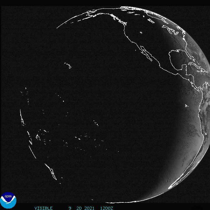 VIS
VIS  Visible
  Water Vapor
  Visible
  Water Vapor